Artificial intelligence has long been used in medicine, finance, and industry, but its potential goes far beyond these fields, according to Kazinform News Agency.
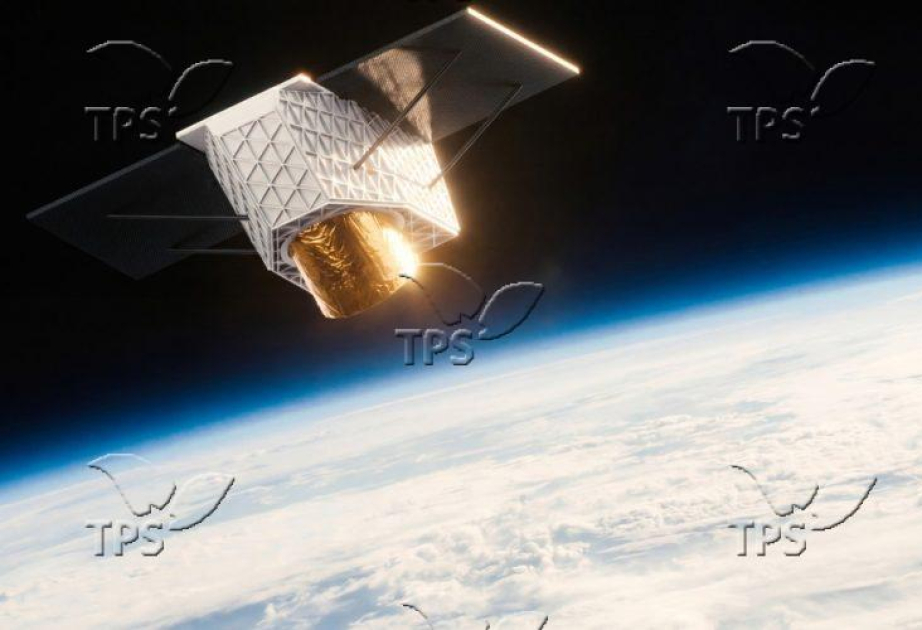
Identifying those in need with satellites and mobile data
As Nature reports, during the COVID-19 pandemic, Togo’s government used AI to quickly identify families in urgent need of financial support. Instead of relying on traditional, costly surveys that often miss the most vulnerable, authorities analyzed satellite images of low-income areas with AI and combined that knowledge with data from mobile-phone networks to find eligible recipients. This approach enabled direct financial aid distribution via mobile payments, reaching more people in less time.
Estimating poverty levels through images
Stanford researchers have developed an AI system that analyzes drone and satellite images to assess the wealth levels of households. The tool processes both nighttime and daytime satellite imagery: at night, it evaluates lights as an indicator of economic development, while daytime images help assess infrastructure conditions—such as roads, farmland, roofing materials, housing structures, and waterways. This approach enables governments and organizations to allocate resources more effectively and design targeted poverty reduction strategies.
Fight against pollution
In Ghana, local citizens actively engage in environmental projects to monitor and combat coastal pollution. Volunteers collect data on ecosystem health, document pollution incidents, and assist in beach clean-ups. The data gathered is used and analyzed by AI to formulate strategies to reduce pollution and improve coastal areas.
Automatic detection of illegal deforestation
In the Amazon, AI analyzes satellite imagery to detect deforestation in real-time. Specialized algorithms distinguish between natural landscape changes and illegal logging activities, enabling quick responses to environmental threats. Traditionally, environmental reports had delays of three to seven months, hindering fast reactions. The new system bridges this gap, offering authorities near-real-time data for faster and more informed decision-making.
AI protecting oceans
AI is actively used to monitor fishing activities in the world’s oceans. Algorithms analyze satellite data and vessel identification systems to track fishing vessels' movements, identify illegal fishing, and optimize the management of marine resources. These technologies provide real-time data, improving control over sustainable use of ocean resources.

.webp)