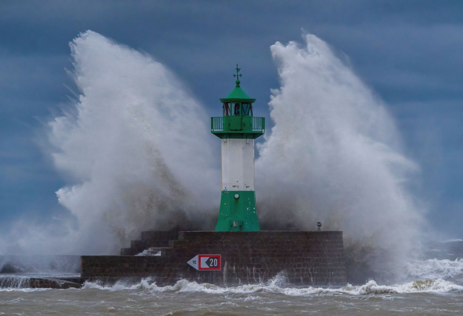
Milton grew more powerful and gained hurricane status Sunday as it rolled through the Gulf of Mexico on a track that imperils areas of the Florida Peninsula still recovering from the devastation of Hurricane Helene, according to USA Today.
Milton's sustained winds reached 85 mph and are "continuing to rapidly intensify," the National Hurricane Center said after the storm's winds increased by 40 mph in 15 hours, adding that further strengthening is expected over the next two days.
The center predicted Milton would become a major hurricane by Monday and approach Florida's west coast Wednesday. A major hurricane means at least a Category 3 storm, which drives winds of 111 to 129 mph and can cause "devastating damage," according to the National Hurricane Center.
On Sunday, Gov. Ron DeSantis expanded a state of emergency to 16 more counties, meaning 51 of Florida's 67 counties are now part of the directive.
"A major hurricane is the most likely outcome," DeSantis said. "This is not a good track for the state of Florida."
The rain, which has already begun here, could reach totals of 5 to 10 inches with localized totals up to 15 inches across portions of the Florida Peninsula and the Keys through Wednesday night, hurricane center specialist Eric Blake said. The rain brings the risk of widespread minor to moderate river flooding.
But uncertainty about Milton's intensity and track remains and the storm could hit Florida as a major hurricane or weaken, the hurricane center said.
"Regardless of the details, there is increasing confidence that a powerful hurricane with life-threatening hazards will be affecting portions of the Florida west coast around the middle of this week," the hurricane center warned in an update Sunday.


